Examining Geofencing Technology Deployment Across Mobile Betting Apps and Its Coordination with Regional Regulatory Enforcement Mechanisms
Written by Drew Reed · Aug 3, 2026
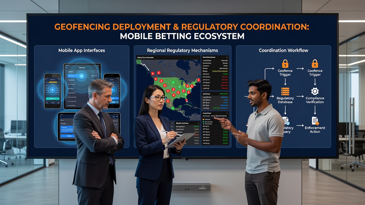
Examining Geofencing Technology Deployment Across Mobile Betting Apps and Its Coordination with Regional Regulatory Enforcement Mechanisms
Geofencing technology creates virtual boundaries that mobile betting apps use to confirm user locations before allowing wagers, and these systems rely on GPS signals, WiFi networks, and cellular data to enforce jurisdictional limits set by regional laws. Operators integrate these tools directly into app architecture so that access activates only when devices sit inside approved zones, which prevents unauthorized play from outside regulated areas. Data indicates that major platforms update their geofence maps daily to reflect changes in state or provincial boundaries, and this practice aligns with enforcement schedules maintained by oversight bodies.
How Geofencing Operates in Betting Environments
Apps trigger location checks at login, deposit, and bet placement stages, while continuous monitoring runs in the background to catch any movement that crosses boundaries during active sessions. When a device exits a permitted zone the session ends automatically, and the user receives a notification that redirects them to compliant alternatives or blocks further activity. Observers note that accuracy rates reach 99 percent in urban areas where multiple signal sources overlap, yet rural zones sometimes require fallback protocols that combine IP address validation with manual reviews.
Regional regulators coordinate with developers through shared data feeds that log every boundary check and flag anomalies for audit. In August 2026 several US states expanded their reporting requirements to include real-time geofence performance metrics, and this update forced platforms to upgrade their APIs so enforcement agencies could pull compliance records without prior notice. Similar coordination appears in Canadian provinces where the Alcohol and Gaming Commission of Ontario publishes technical standards that specify acceptable error margins and response times for location services.
Integration with Regulatory Enforcement
Enforcement mechanisms depend on geofencing logs to verify that operators respect territorial restrictions, and agencies cross-reference these records against player complaints and tax filings to identify gaps. When discrepancies surface, regulators issue notices that require corrective code changes within set deadlines, and repeated failures trigger license reviews or financial penalties. Researchers at the University of Nevada Reno documented how one operator adjusted its geofence radius after state inspectors discovered a 200-meter overlap into an adjacent unlicensed county, and the fix involved recalibrating WiFi anchor points rather than rewriting the entire location module.
What's interesting is the way enforcement varies by jurisdiction while the underlying technology remains consistent. Some areas mandate third-party audits of geofencing accuracy every quarter, whereas others accept operator-submitted test results verified through spot checks. The New Jersey Division of Gaming Enforcement maintains a public dashboard that tracks geofence-related violations across licensed apps, and operators can access the same dataset to benchmark their own performance against industry averages.

Technical Challenges and Solutions
Signal interference from tall buildings or underground venues creates occasional false negatives that block legitimate users, and developers counter these issues with multi-source triangulation plus user-initiated location refresh buttons. Battery optimization features on modern phones sometimes delay GPS updates, so apps now request background location permissions with clear explanations that tie the request to legal compliance rather than marketing purposes. Those who've studied deployment patterns report that hybrid systems combining satellite data with Bluetooth beacons near venue boundaries improve reliability in high-traffic casino districts.
Cross-border operations add another layer because apps must maintain separate geofence databases for each licensed market and switch between them based on detected country codes. European operators handle this through centralized servers that apply different boundary sets according to the user's IP origin, while Australian platforms coordinate with state-level rules that treat certain territories as distinct even within the same nation. Data from industry reports show that synchronization errors drop significantly when operators adopt standardized coordinate formats endorsed by international gaming associations.
Future Developments in Coordination
Emerging standards emphasize machine-readable compliance reports that regulators can ingest automatically, and this shift reduces manual review time while increasing the frequency of checks. Platforms that already feed live geofence data into regulatory portals experience fewer surprise audits because anomalies surface early. Observers note that partnerships between tech vendors and enforcement bodies have produced open-source toolkits that smaller operators can adopt without building custom solutions from scratch.
Conclusion
Geofencing deployment continues to evolve alongside regulatory expectations, and the coordination between app developers and enforcement agencies rests on shared data standards that verify location compliance at every step. As boundaries shift with new legislation, the technical infrastructure adapts through daily map updates and automated reporting pipelines. Those tracking these systems see steady progress toward tighter integration that supports both operational efficiency and regulatory oversight across multiple regions.